Showing posts with label Alaska Marine Highway. Show all posts

Wednesday, July 17, 2013

Juneau and the Mendenhall Glacier

We left Gustavus Saturday afternoon (July 13), arriving at the airport which is easier than arriving by ferry.
The Mendenhall Glacier as we were approaching the airport.

Juneau is the capital city of Alaska--some call it the most inaccessible capital in the US if not the world because there are no roads to the outside world even though it's on the mainland.  Hemmed in by mountains on one side and ocean on the other, Juneau stretches along the coast for many miles in a narrow band--home to around 35,000 people.  The ferry terminal is 14 miles away from the historic downtown and is not served by either a shuttle or public transit (hence the inaccessibility for the independent traveller).  In spite of living in such a narrow band, much of the space is taken up with a 4 lane highway because people are very dependent on their vehicles here--many likely live at one end and work at the other.

We stayed at A Bear's Den Inn in the Mendenhall Valley for two nights, arriving in time to explore the historic downtown late Saturday afternoon and evening (we could get there by bus thankfully). There were a few giant cruise ships at the docks and the downtown was teeming with people.  Most of the "cookie cutter" souvenir and jewelry stores were open.  The historic downtown is attractive and obviously catering to the cruise ship passengers.  A few hours was enough for us.

On Sunday we borrowed bicycles from our hosts and cycled up to the Mendenhall Glacier.  This was a pretty easy cycle on a dedicated bike path at about a 4% grade.

View of the Mendenhall Glacier from the road.
As we expected, we shared the site with a few thousand cruise ship passengers--there was a constant stream of coaches discharging people who had perhaps an hour to enjoy the lake, glacier and falls.   We had most of the day, and so once we had visited the Visitor Centre and walked to the very impressive waterfall, we took off up the hill on the East Glacier Trail.  We met lots of locals out enjoying the beautiful day.
I took a little time out to knit a bit...

The glacier is retreating about 200 feet per year.  The Visitor's Centre has an excellent display of how this is accelerating due to climate change.

From the East Glacier Trail.  The recently scoured rocks are evident at the toe of the glacier.  
It was a pleasant cycle back down the valley, stopping at a beer and wine store for some refreshment which we enjoyed in the very pleasant back garden of our B&B.

It was with some relief that we left Juneau the next day for Sitka!  A very pleasant four hour ferry ride on one of the new fast ferries.  My next posting will be about Sitka, a small town which feels very welcoming--for starters there was both a shuttle AND a public bus at the ferry dock which is about 4 miles out of town.  We are staying at the Cinnamon Bear B&B which is about halfway between town and the ferry, and well served by public transit called "The Ride" every hour.  And the weather continues to be very pleasant--about 20 degrees and sunny.  Locals are actually feeling this is too warm! 

Tuesday, July 16, 2013

Gustavus and Glacier Bay

We're travelling mostly by Alaska State Ferry (the Alaska Marine Highway) and had a planned stop for one night in Juneau in order to get to Gustavus, a small community on Icy Strait near Glacier Bay.  A few days prior we decided to fly to Gustavus instead so as to avoid a 7 AM ferry departure.  Thus I had my first ride in a Cessna bush plane where Lloyd got to ride beside the pilot.  There was room for only two more passengers (me and one other) in front of a lot of cargo behind a mesh.
Approaching Gustavus--very flat!
Gustavus reminded me of Cherryville and Clearwater in that there is no actual town centre.  Instead they have "the four corners"...
One corner is an L-shaped building with the Fireweed Gallery and Coffee shop (excellent espresso) along with the Clove Hitch Cafe (and a cement brown bear in the middle...)

And the opposite corner is the gas station

Cycling  is the perfect way to get around.  
We stayed at Homestead Bed and Breakfast which could really be called Homestead BBB (bed, breakfast and bicycle).  For the first time in years we were riding single speed bikes with pedal brakes which took a little getting used to.  The pace of life in Gustavus is nice and slow--EVERY driver gives cyclists a wide berth as well as a friendly wave. Drivers actually pay attention to the posted speed limits (25 and 35 miles per hour). There are about as many cyclists as drivers.  This area was home to the Tlingkit people about 400+ years ago until they were pushed out by a mini ice age and an encroaching glacier.  In fact a glacier blocked what is now Glacier Bay when Captain Vancouver was sailing these waters.  The glaciers started to recede 200+ years ago and are still retreating.  What is now the community of Gustavus was originally homesteaded in the 1920s.   It must have been a really hard life--in fact I think anyone trying to farm in Alaska would have a difficult time because of the long cold winters.  Gustavus was originally known as Strawberry Flats because of all the wild strawberries, one of the first plants to colonize an area after glaciation...
Yum!


We took a day tour up Glacier Bay to see the Glaciers, icebergs, sea otters, brown and black bears feeding on the beaches, eagles, and whales...

Sea Lions--juvenile males

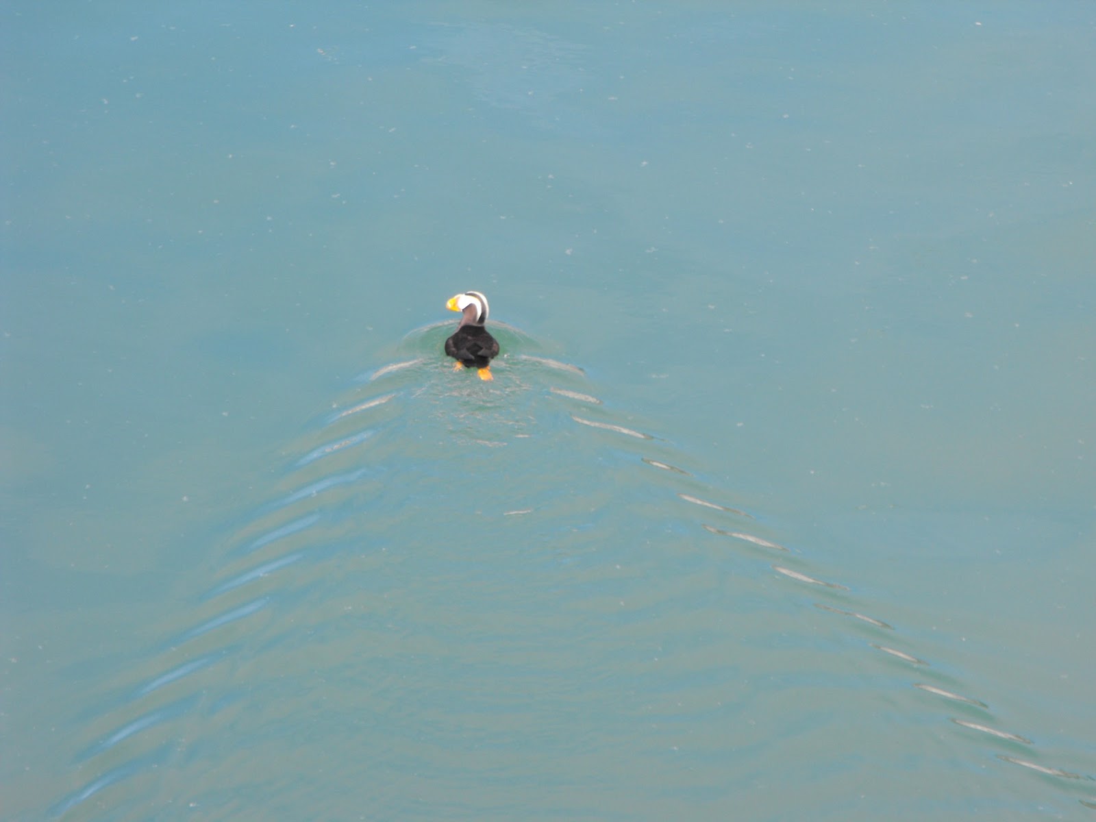
Puffin

Glacier with huge cruise ship in front--that cruise ship had 11 decks which gives you an idea of the size of the glacier.


Lloyd with a bergy bit


We left Gustavus on Saturday mid-afternoon, this time as the only passengers on a Cessna that could have carried about 8 passengers.  We stopped at Hoonah and off-loaded a lot of groceries--a resident must have called in an order to a store in Juneau and this is what was delivered:
...complete with a couple pizzas on top ready to pop in the oven...being unloaded by a couple of young women.

Thursday, July 4, 2013

On the Alaska Marine Highway in Ketchikan

We expected lots of rain up here (the average annual rainfall is 150 inches) but we sailed from Prince Rupert and arrived in sunshine...

We have been staying at Corner B&B for the past two nights--we were met at the ferry by our host Carolyn, and whisked up the hill to her home.  After giving us about 10 minutes to settle in, she then drove us back down the hill to "downtown Kechikan", about 2 miles away for a tour of the city before dropping us off and leaving us to our own devices.  This town has about 13,000 inhabitants and the population can almost double daily with the cruise ships.  Yesterday was a light day--only 3 ships with a total of 5,500 people.  Thursdays and Fridays are the busy days with almost 10,000 passengers discharged to roam the streets of souvenir shops and jewelry stores.  We're leaving today for Wrangell aboard the ferry--away from the crowds!
The Holland American ship at the berth at the end of the street.
Many of the houses are built into the hillside, accessed by lots of stairs.  Imagine moving into these homes!  Carrying your groceries!

This staircase is just one example of a street not accessed by cars, just by pedestrians.
We bought day passes for the public bus for $2 each and rode each service to the end of the line.  At the north end is Totem Bight, a state park with totem poles copied from the originals which had decayed in their original locations some distance away, in 1938 - 43.
Totem Bight

Totem Bight
We then rode to the opposite end of the line, to the south at Saxman.
Saxman totems

At Saxman totem park.